Notice: the City of Cedar Falls is undergoing a Main Street Reconstruction project, but the water trails remain open to paddlers. Make sure to always practice paddling safety. To learn more, visit the Paddling Safety page.

Notice: the City of Cedar Falls is undergoing a Main Street Reconstruction project, but the water trails remain open to paddlers. Make sure to always practice paddling safety. To learn more, visit the Paddling Safety page.
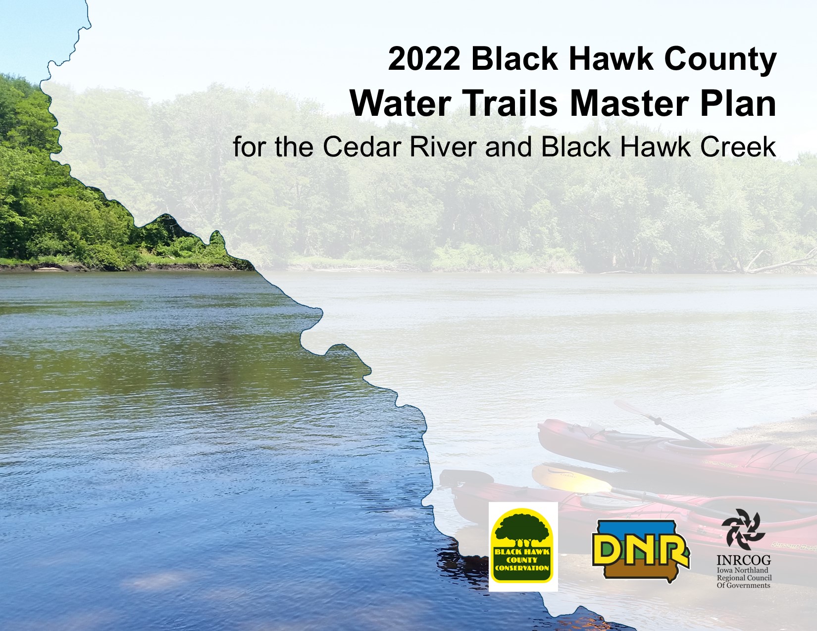
The Cedar River and Black Hawk Creek were designated as official water trails by the state of Iowa on September 28th, 2022! We welcome you to explore a water trail journey of 47 miles through unique habitats and the downtown of two major Iowa cities!

The City of Cedar Falls is scheduled to begin their Cedar River Recreation Project either late August or early September with most of the in-river work being completed this fall/winter. The limits of the work are from the Main Street Bridge to the First Street Bridge. The impact to water trail users will minimal with no anticipated closures.

The City of Evansdale has been awarded $262,320 from the DNR Water Trails Enhancement Grant Program for the construction of a new concrete boat ramp, parking lot, and access road along the Cedar River near River Road. Currently there is no developed access in this location, although the area has been used by anglers and paddlers for decades. This access will allow motorboats to launch as well as paddle craft, and is in close proximity to the Cedar Valley Nature Trail, which will provide pedal/paddle opportunities for adventurers! These funds will be paired with previously awarded REAP grant funds to create a recreation destination for the region. This opportunity was made possible through collaborative efforts by the City of Evansdale, Black Hawk County Conservation Board, INRCOG, and the Iowa Department of Natural Resources.


You should notice new signage directing you to paddling destinations all across the Cedar Valley! New signage will also be added to locations along the water trail to help paddlers better navigate both the Cedar River and Black Hawk Creek in Black Hawk County. These signs were made possible through a collaboration between the Iowa DNR, Black Hawk County Conservation, Cities of: Janesville, Cedar Falls, Waterloo, Evansdale, Gilbertville, Hudson, and La Porte City. The new water trail signage is part of the state designation of the Black Hawk County Water Trail. State designation will help promote awareness and safety of the navigable waters in the Cedar Valley. Keep your eyes peeled while on the road or in the water!

This summer has been humid, but that hasn’t stopped Iowans from paddling their favorite rivers. We have seen more interest in the Cedar Valley Water Trails website this summer than at any other point since our initial launch two years ago! The Black Hawk County Resource Enhancement and Protection (REAP) committee met last week to review this year’s grant applications to improve area parks (including a potential new river access), and the Water Trails Master Plan contract has been extended one year with a final State Water Trails designation ceremony planned in summer 2021.
Social media platforms like Facebook, Twitter, and Instagram have become a new normal for staying up to date on current events and local happenings. Often this means fewer people visit an organization’s website when they already receive updates in their news feed. However, the Cedar Valley Water Trails website has reached new heights with 687 views last month. This is only 70 views shy of the all-time record set in June 2018 when the website first launched and public meetings were being held in Waterloo and Cedar Falls.

September saw the most website views last year. Is there enough momentum this year to break the all-time monthly record?
Four jurisdictions within Black Hawk County are submitting grant applications for Resource Enhancement and Protection (REAP) funds this year through the Iowa DNR: Black Hawk County Conservation, Evansale, Elk Run Heights, and Dunkerton.
City officials in Evansdale hope to receive a grant to help fund construction of a new access along the Cedar River Water Trail. The proposed access area (pictured above) is along River Road and is currently used by locals as an unofficial access and fishing area. If awarded grant funding, construction is expected to begin as early as next spring. This would create a new access between Deerwood Park and Gilbertville, giving paddlers more options and improving emergency response.
The new river access will use the design developed for the Water Trails Master Plan. The Master Plan includes conceptual designs for five new access areas along the Cedar River. The development of the new access in Evansdale shows how local intergovernmental planning efforts can help cities and improve quality-of-life in the community.
Other projects for REAP grant consideration include a septic tank system at Hickory Hills Park, a shelter and restrooms at Mayor’s Park in Elk Run Heights, and two shelters along the Riverwalk Trail in Dunkerton.

The complexity of creating a signage plan for 12 different jurisdictions cannot be overstated. This is especially true if development of a new river access will require future changes to signs at other access areas — and in other jurisdictions. INRCOG staff have been working with the Iowa DNR to determine the immediate and long-term responsibilities for each jurisdiction involved. These responsibilities will be described in detail in the sponsor agreements to be developed this fall. Signs are expected to be ordered by next spring with an official State-designated Water Trail dedication event to be held in summer 2021.
Picture above is the draft sign plan for a proposed new access at Pioneer Park in Waterloo. If constructed, this will be the first official access downstream from the Waterloo dam, functionally adding over one mile to the water trail. Development of this access wouldn’t affect nearby signs much; however, the planned marina development upstream of the dam would require changing all the Waterloo Boathouse signs from Access 164 to 164B (formerly 163) and assigning 164A to the new marina access. The access at Pioneer Park, if developed, will then become Access 163. Dizzying? We might need to spend a day on the river to unwind!
(For the record, the 12 jurisdictions are Black Hawk County, the County Conservation Board, Iowa DOT, Iowa DNR (George Wyth State Park), Janesville, Cedar Falls, Hudson, Waterloo, Evansdale, Gilbertville, Grundy County, and potentially Bremer County.)

In uncharted waters, it is extra important to proceed cautiously and carefully. Please practice social distancing and give fellow paddlers and boaters extra space when loading and unloading.
A few developments have been underway since the last update:
On April 16, the Black Hawk County Conservation Board approved their role as the sponsor for the Cedar River and Black Hawk Creek Water Trails in Black Hawk County. Once all planning is complete, County Conservation staff will coordinate with the Iowa DNR on a variety of water trails maintenance responsibilities.
The water trails website has a fresh new look. The menu now appears on the left side of the computer screen to make navigating the Water Trails Master Plan much simpler. What do you think?
In Hudson, the City constructed a new canoe/kayak ramp at Franck Park (pictured above). This replaces the steep, narrow path walking path closer to the highway. While the new ramp looks very nice and welcoming, this section of Black Hawk Creek has a development classification of “wilderness” and is the most challenging segment pending State-designation in the county. Proceed with caution.
Mile markers along the Cedar River have been recalculated by DNR staff from the Iowa River to Mitchell County. This means many of the numbers you’ve seen on maps will change. For example, Access 158 will now be Access 159. These changes ensure that mile numbers are continuous and accurate from county to county.
Updates will be more frequent in the coming months as the final planning efforts ramp up! The Master Plan is expected to be completed by June 30, and several pages on this website will also be updated over the coming weeks.

It has been a long time coming, but the final steps of the Water Trails Master Plan are in motion. The plan itself is nearly complete, and the Recommendations section for three jurisdictions are already published online: Black Hawk County, Cedar Falls, and Evansdale. The water trails coordinator is now presenting the recommendations to elected officials in each jurisdiction for their review and final comments. Once complete, City and County staff from every jurisdiction will meet to develop the Sponsor Agreements which is the final step needed to complete the planning process and designate the Cedar River and Black Hawk Creek as State Water Trails. A dedication event will follow, likely in summer of 2020.
In social media news, 286 people are now following the Cedar Valley Water Trails Facebook page! Are you one of them? Give us a like! The page shares more frequent updates on Iowa water trails, developments in the Cedar Valley, local river conditions, and more. Can we get 300 “likes” before the new year?

It’s been a few months since the last update, but planning efforts are still alive and well for the Water Trails Master Plan. Most recently, we’ve been working on signage plans for 22 accesses along the Cedar River. These include directional signs on roadways, dam warning signs, and signage to be installed at each entry point. This process requires much coordination between each City, Black Hawk County, the Iowa DNR, and the Iowa DOT.
For Black Hawk County residents, these signs may be the most visible outcome of the Master Plan process. All 22 signage plans are currently under review. The next steps are to meet with elected officials to review the Master Plan and identify maintenance responsibilities for each government entity. The remaining chapters of the plan will be uploaded in the next few weeks (in draft form). These will include the signage plans and proposed improvements to each access along the Cedar River and Black Hawk Creek. Check back next month for more information, and stay safe out there!

After much review, we have begun uploading the Water Trails Master Plan in it’s final draft version. The plan can be viewed in your current browser on the Master Plan page, and will also be available in PDF format to download. Please be patient as we publish each section, one part at a time.
